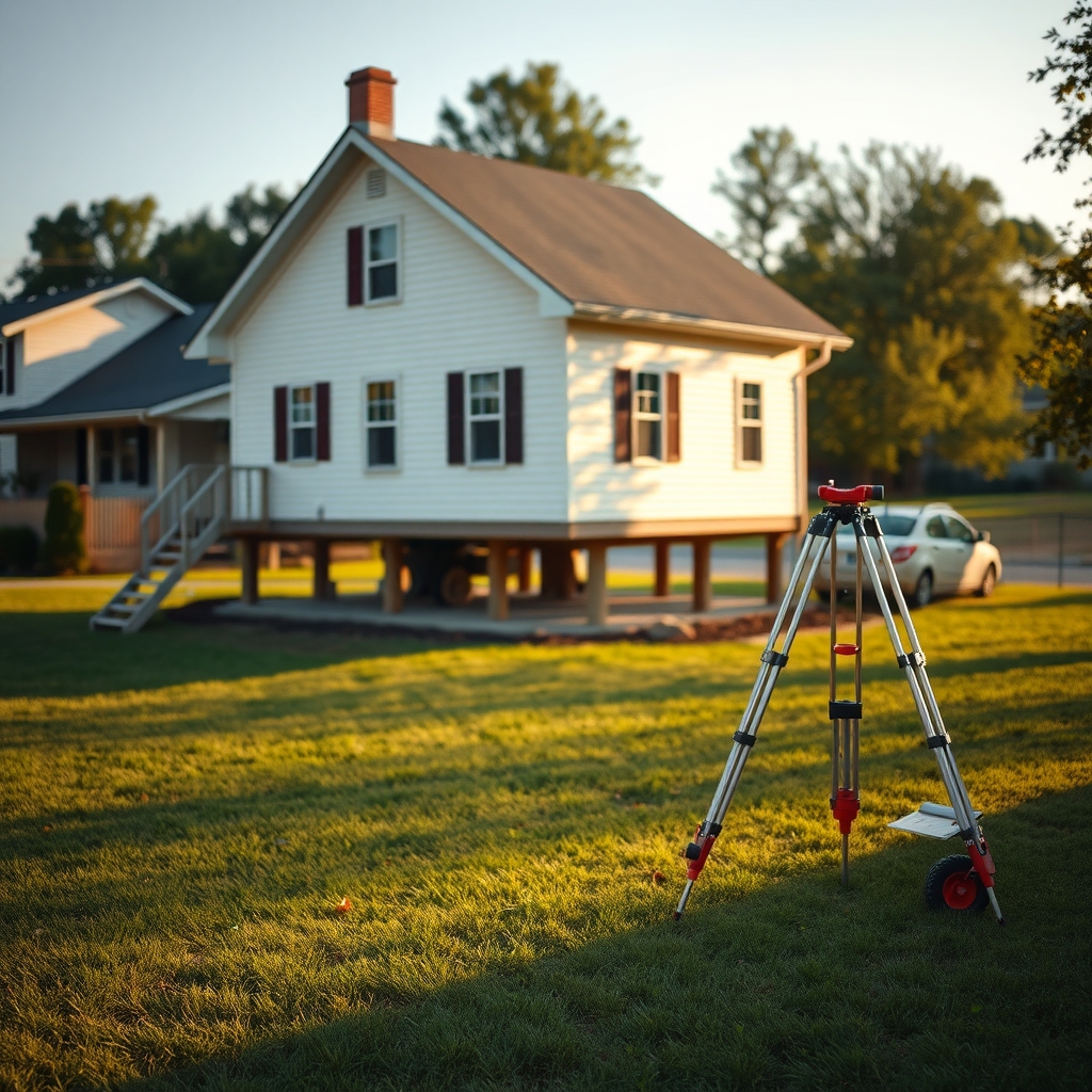
To check whether a house is in a FEMA flood zone, look up the address on the FEMA Flood Map Service Center, note the zone letter for the property itself (not the street), and check the effective date of the map you are reading. The zone letter tells you which hazard band the property falls in. It does not tell you what insurance will cost, and it does not tell you whether that specific lot floods.
That gap between "which zone" and "what it means for me" is where most buyers get stuck.
What are the actual steps?
- Get the exact address, including the unit and the parcel. Flood maps follow parcel geometry, so the house next door can be in a different zone.
- Open the FEMA Flood Map Service Center and search by address. This is the federal source of record.
- Read the zone code on the map for that parcel. The National Flood Insurance Program explains each code on its flood zones page.
- Note the effective date. A map from years ago may not reflect current analysis or a recent revision.
- Ask your lender whether flood insurance will be required. Federally backed mortgages in high-risk zones generally require it.
- Request a flood disclosure from the seller. Many states require some form of it. Ask regardless.
- Get an elevation certificate if one exists. It is not required to buy insurance, but it can change the premium.
If you just want the zone letter and a plain-words reading of it quickly, FloodLens looks up any US address free and shows the zone, a risk level in ordinary language, and the date the data is from. No account needed. It is a reading of FEMA's data, not a replacement for the official determination.
What do the zone letters mean?
The letters are not a ranking of "bad" to "good." They describe different kinds of hazard analysis.
| Zone | What it generally means | Insurance note |
|---|---|---|
| A, AE, AH, AO, AR, A99 | High-risk areas, often near a river, stream, pond, or a barrier under construction | Federally backed mortgages in participating communities generally require coverage |
| V, VE | High-risk coastal areas with an additional wave hazard | Same requirement, often higher premiums |
| B, shaded X | Moderate risk, usually between the 100-year and 500-year flood limits, or shallow flooding | Coverage recommended, not generally required |
| C, unshaded X | Lower risk, usually outside the 500-year limit | Coverage recommended, not generally required |
| D | Undetermined, because no hazard analysis has been done | Rates reflect the uncertainty |
Two things surprise buyers. First, X is not "no risk," it is lower risk, and flood claims happen in X zones. Second, being mapped into a high-risk zone is not the same as having flooded. The map is a model of hazard, not a record of events.
Why does the map say one thing and the insurance quote another?
Because the zone letter and the premium are two different calculations.
Under Risk Rating 2.0, FEMA prices flood insurance using property-specific characteristics: distance to water, elevation relative to flooding source, replacement cost, and the type of flooding the property faces. Two houses in the same zone can be quoted very differently. That is why a buyer who sees "Zone AE" and expects one price is regularly surprised.
The practical consequence: get a quote, not an estimate from the zone letter. FloodSmart explains that premiums are specific to the property and walks through what a quote requires. Getting one is free and takes a few minutes with an agent.
What should you ask the seller and the agent?
Ask in writing, and keep the answers. Useful questions:
- Has any flood insurance claim been filed on this property? At what amount?
- Is there a current flood insurance policy, and what is the premium?
- Has the property ever been mapped into a different zone? When did it change?
- Is there an elevation certificate on file?
- Has the basement or crawlspace taken on water, and when?
- Are there any flood mitigation features (vents, elevated utilities, a sump system)?
Sellers in many states must disclose known flooding history. But disclosure rules vary by state and by form, and a seller may genuinely not know. Ask anyway, and put it in the written communication rather than in a phone call.
Does the zone affect the loan?
Sometimes directly. If the property is in a high-risk zone and the mortgage is federally backed, the lender will generally require flood insurance, and the policy becomes part of your monthly escrow. That changes your monthly payment, not just your closing costs.
If you are comparing two houses, add the insurance premium to the monthly payment before you compare. A cheaper house in a high-risk zone can be the more expensive house to own.
What if you disagree with the map?
There are formal processes. A Letter of Map Amendment can remove a structure from the high-risk zone if you can show with elevation data that it sits above the base flood elevation. An elevation certificate is usually part of that. A Letter of Map Revision handles changes to the map itself, often initiated by a community.
These are slow and require survey work, so they are not a tactic for a fast-closing purchase. They are worth knowing about if you buy a property that sits high on a lot inside a mapped zone, because a successful amendment can change the insurance requirement later.
What is worth paying for and what is not?
Free: the zone letter, the map panel, the effective date, the flood zone definitions, and a quote from an agent.
Paid, and optional: products that assemble the above into a document you can keep, print, and hand to a lender or an agent. FloodLens's $9 report is a 10-page PDF covering what the zone means, how premiums are estimated, questions for your agent, and how the zone has changed over time. If you are comparing three houses, there is a three-property pack. The zone check itself stays free, and the report is a convenience, not a legal determination.
Be clear about what no report can do: it cannot tell you whether a specific house will flood, cannot quote a real premium, and cannot replace an elevation certificate or a floodplain administrator's determination.
A buying checklist
- Zone letter confirmed on the official FEMA map, with the map's effective date
- Quote obtained from an agent, not estimated from the zone
- Seller's flood history answers in writing
- Elevation certificate requested if one exists
- Insurance premium added to the monthly payment comparison
- Mortgage lender's flood requirement confirmed in writing
This is general information about flood maps and insurance, not professional advice. Flood zones, insurance requirements, and disclosure rules vary by location. Confirm details with your lender, a licensed insurance agent, and your local floodplain administrator.